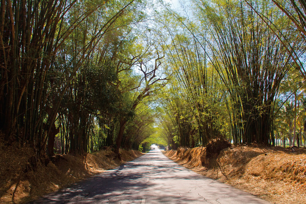
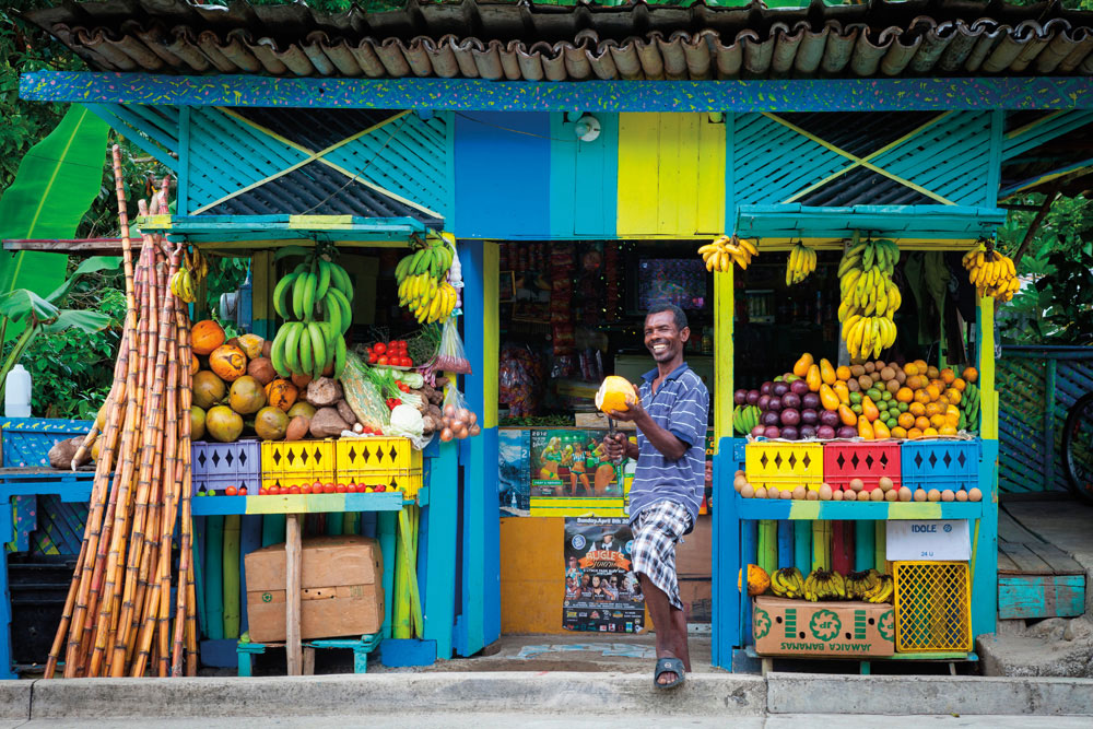
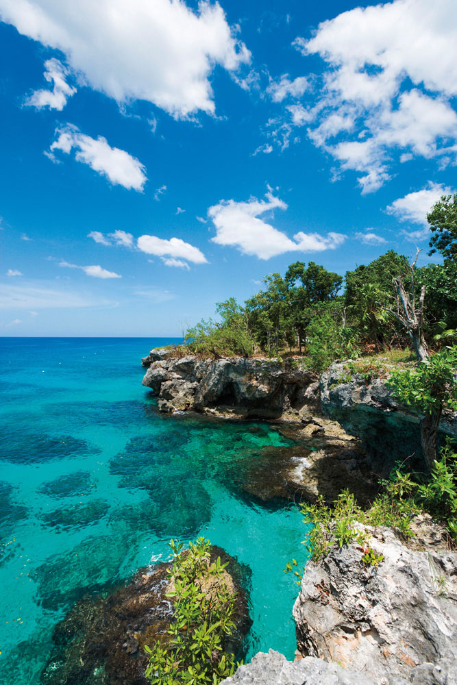
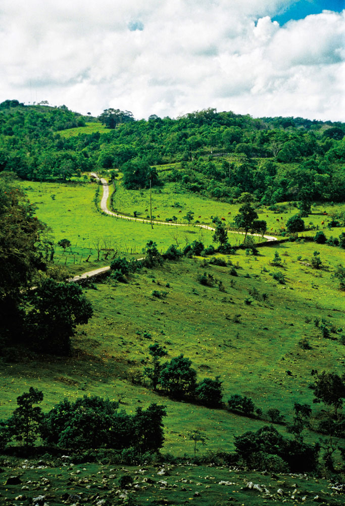
Jamaica on the road | Explore

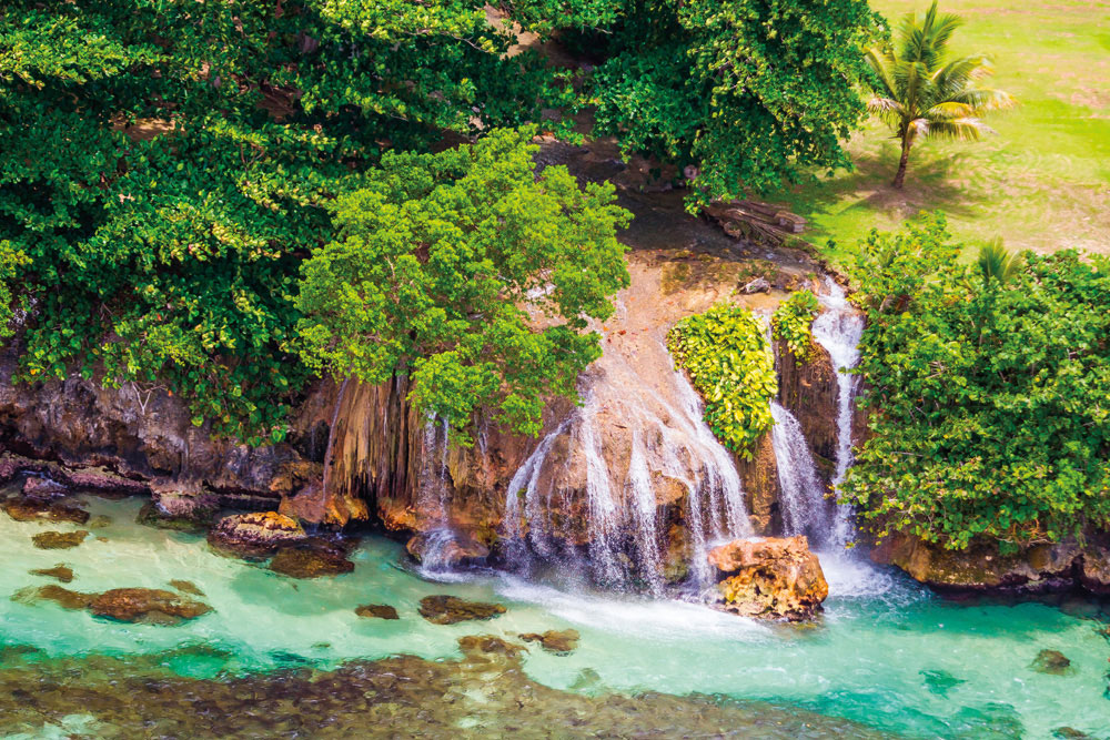
A rambling road trip is one of the best ways to explore the diverse landscapes of Jamaica — from forested mountains to valleys and villages, from the cliffs of Negril to the waterfalls of Ocho Rios

  • Said to have been first planted in the seventeenth century, Bamboo Alley in St Elizabeth Parish stretches for two and a half miles between the villages of Lacovia and Middle Quarters — a sun-dappled tunnel of green along the road to the south coast. Pho
  • A fresh coconut from a roadside fruit stall — like this one in St Mary Parish — is the best thirst-quencher on a long country drive. Photo by Jon Arnold Images Ltd/Alamy Stock Photo
  • Limestone cliffs mark Jamaica’s westernmost tip, close to Negril. Photo by Ian Dagnall/Alamy Stock Photo
  • The view is all green on the drive through the hills of St Ann Parish. Photo by Scott Kemper/Alamy Stock Photo
  • Fresh water meets salt near Ocho Rios on the north coast, as a small river plunges into the crystal sea. Photo by National Geographic Image Collection/Alamy Stock Photo
  • Jamaica map

Caribbean Airlines operates daily return flights to Norman Manley International Airport in Kingston and Sangster International Airport in Montego Bay from destinations in the Caribbean and North America

Funding provided by the 11th EDF Regional Private Sector Development Programme Direct Support Grants Programme.
The views expressed on this website are those of the the authors and do not reflect those of the Direct Support Grants Programme.

Close